


2022-07-08_19h16m09_20171227000605-78146-data

Gegetop
User

Length
3.5 km

Max alt
566 m

Uphill gradient
100 m
Km-Effort
4.8 km

Min alt
491 m

Downhill gradient
89 m
Boucle
Yes
Creation date :
2022-07-08 17:16:09.785
Updated on :
2022-09-12 15:18:46.113
1h05
Difficulty : Easy

FREE GPS app for hiking
 SityTrail
IGN / Geographical institutes
SityTrail Plus
The world is yours!
About
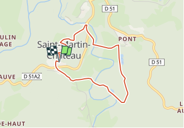
Trail Walking of 3.5 km to be discovered at New Aquitaine, Creuse, Saint-Martin-Château. This trail is proposed by Gegetop.
Photos

Positioning
Country:
France
Region :
New Aquitaine
Department/Province :
Creuse
Municipality :
Saint-Martin-Château
Location:
Unknown
Start:(Dec)
Start:(UTM)
406764 ; 5078775 (31T) N.
Comments