


Felenne 080722

guyernage25
User
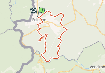

Length
16.3 km

Max alt
381 m

Uphill gradient
452 m
Km-Effort
22 km

Min alt
207 m

Downhill gradient
453 m
Boucle
Yes
Creation date :
2022-07-08 07:41:25.929
Updated on :
2022-07-09 06:29:22.845
5h04
Difficulty : Difficult

FREE GPS app for hiking
 SityTrail
IGN / Geographical institutes
SityTrail Plus
The world is yours!
About
Trail Walking of 16.3 km to be discovered at Wallonia, Namur, Beauraing. This trail is proposed by guyernage25.
Description
superbe rando forestière
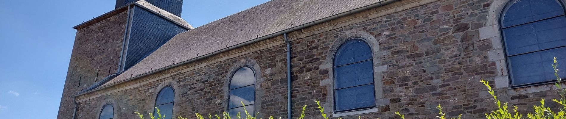
Photos


24 photos in total. Please click on a photo to see them all in the gallery.
Positioning
Country:
Belgium
Region :
Wallonia
Department/Province :
Namur
Municipality :
Beauraing
Location:
Unknown
Start:(Dec)
Start:(UTM)
632206 ; 5548036 (31U) N.
Comments