


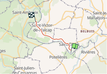

16.9 km | 25 km-effort


User


FREE GPS app for hiking
 SityTrail
IGN / Geographical institutes
SityTrail World
The world is yours!
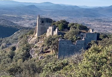
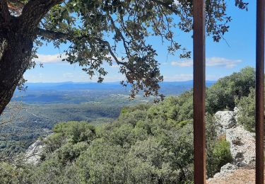
Trail Car of 5.2 km to be discovered at Occitania, Gard, Saint-Denis. This trail is proposed by etak.

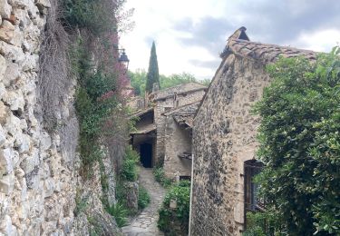
Walking
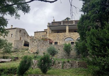
Walking

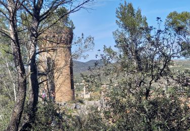
Walking
Walking

Walking

Walking
Walking
Walking