


col du jour plane . la bourgeoise . pointe d angolon . nyon du crot . col de joux plane

stef789
User GUIDE
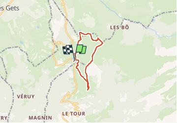

Length
9.6 km

Max alt
2068 m

Uphill gradient
601 m
Km-Effort
17.6 km

Min alt
1591 m

Downhill gradient
601 m
Boucle
Yes
Creation date :
2022-07-11 11:12:33.967
Updated on :
2022-07-11 17:13:32.578
5h55
Difficulty : Difficult

FREE GPS app for hiking
 SityTrail
IGN / Geographical institutes
SityTrail Plus
The world is yours!
About
Trail Walking of 9.6 km to be discovered at Auvergne-Rhône-Alpes, Upper Savoy, Verchaix. This trail is proposed by stef789.
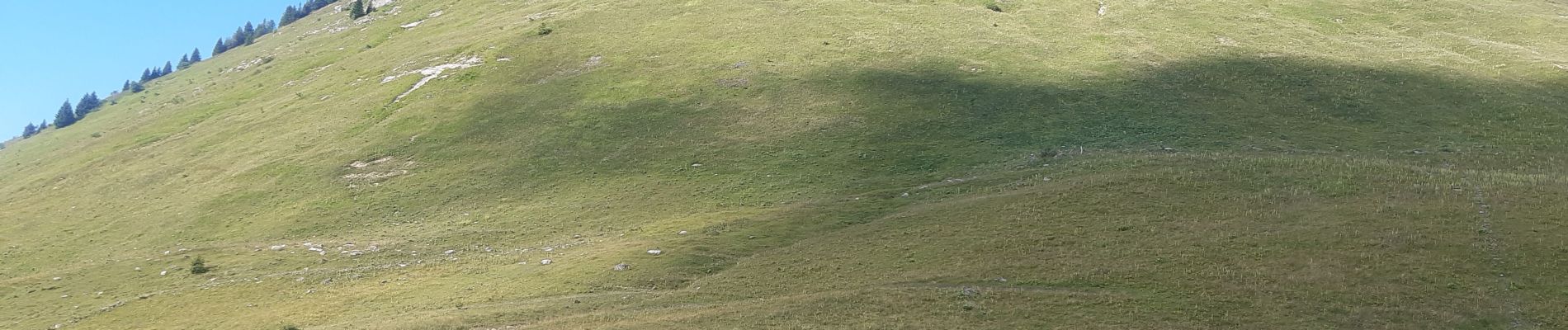
Photos


Positioning
Country:
France
Region :
Auvergne-Rhône-Alpes
Department/Province :
Upper Savoy
Municipality :
Verchaix
Location:
Unknown
Start:(Dec)
Start:(UTM)
323182 ; 5110999 (32T) N.
Comments