


Azy

alfreson
User
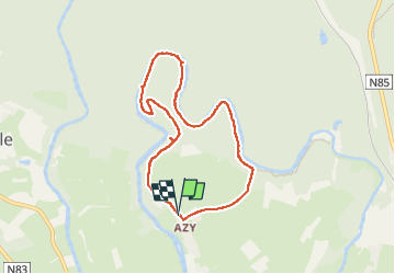

Length
6.7 km

Max alt
349 m

Uphill gradient
120 m
Km-Effort
8.3 km

Min alt
293 m

Downhill gradient
119 m
Boucle
Yes
Creation date :
2022-07-13 06:41:10.0
Updated on :
2022-07-13 08:51:21.131
2h09
Difficulty : Medium

FREE GPS app for hiking
 SityTrail
IGN / Geographical institutes
SityTrail Plus
The world is yours!
About
Trail Walking of 6.7 km to be discovered at Wallonia, Luxembourg, Florenville. This trail is proposed by alfreson.
Description
Passage difficile dans les rochers, bonnes chaussures requises, non accessibles poussettes ou personnes peu sportives
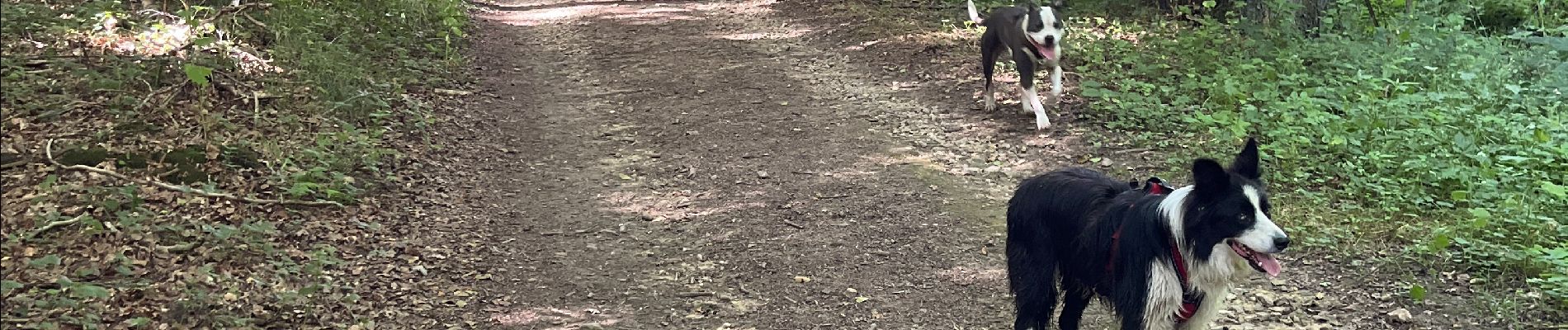
Photos


Positioning
Country:
Belgium
Region :
Wallonia
Department/Province :
Luxembourg
Municipality :
Florenville
Location:
Chassepierre
Start:(Dec)
Start:(UTM)
664141 ; 5510152 (31U) N.
Comments