


refuge Albert 1er

sandra_leb
User

Length
18.2 km

Max alt
2717 m

Uphill gradient
1670 m
Km-Effort
39 km

Min alt
1469 m

Downhill gradient
1298 m
Boucle
No
Creation date :
2022-07-15 07:48:42.469
Updated on :
2022-07-15 07:49:38.071

FREE GPS app for hiking
 SityTrail
IGN / Geographical institutes
SityTrail Plus
The world is yours!
About
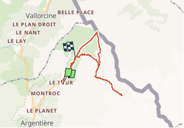
Trail of 18.2 km to be discovered at Auvergne-Rhône-Alpes, Upper Savoy, Chamonix-Mont-Blanc. This trail is proposed by sandra_leb.
Positioning
Country:
France
Region :
Auvergne-Rhône-Alpes
Department/Province :
Upper Savoy
Municipality :
Chamonix-Mont-Blanc
Location:
Unknown
Start:(Dec)
Start:(UTM)
341068 ; 5096295 (32T) N.
Comments