


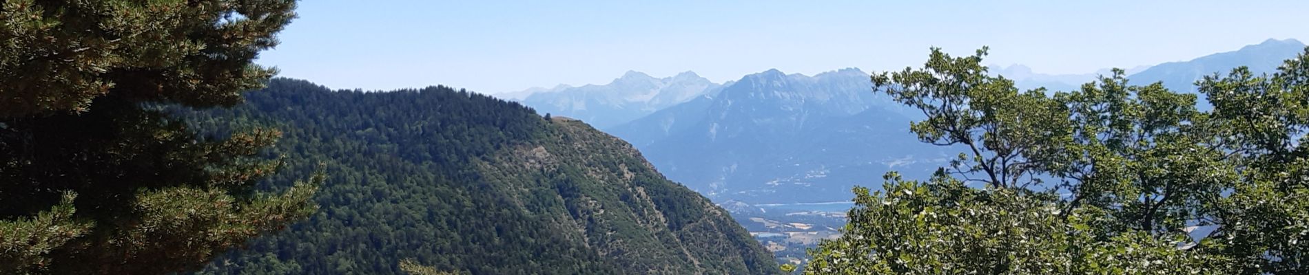
crêtes d´Auréous : col de la Moissière . Chatégré . St Philippe . lac de Faudon

stef789
User GUIDE


Length
6.9 km

Max alt
1704 m

Uphill gradient
218 m
Km-Effort
9.8 km

Min alt
1533 m

Downhill gradient
217 m
Boucle
Yes
Creation date :
2022-07-15 08:12:16.78
Updated on :
2022-07-15 11:43:53.773
2h39
Difficulty : Easy

FREE GPS app for hiking
 SityTrail
IGN / Geographical institutes
SityTrail Plus
The world is yours!
About
Trail Walking of 6.9 km to be discovered at Provence-Alpes-Côte d'Azur, Hautes-Alpes, Ancelle. This trail is proposed by stef789.
Photos


Positioning
Country:
France
Region :
Provence-Alpes-Côte d'Azur
Department/Province :
Hautes-Alpes
Municipality :
Ancelle
Location:
Unknown
Start:(Dec)
Start:(UTM)
279395 ; 4942279 (32T) N.
Comments