


sentier des Mespel

gdela
User
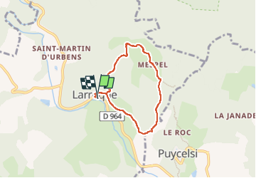

Length
5.9 km

Max alt
338 m

Uphill gradient
241 m
Km-Effort
9.1 km

Min alt
135 m

Downhill gradient
241 m
Boucle
Yes
Creation date :
2022-07-17 08:58:54.283
Updated on :
2022-07-17 11:08:29.585
1h42
Difficulty : Medium

FREE GPS app for hiking
 SityTrail
IGN / Geographical institutes
SityTrail Plus
The world is yours!
About
Trail Walking of 5.9 km to be discovered at Occitania, Tarn, Larroque. This trail is proposed by gdela.
Description
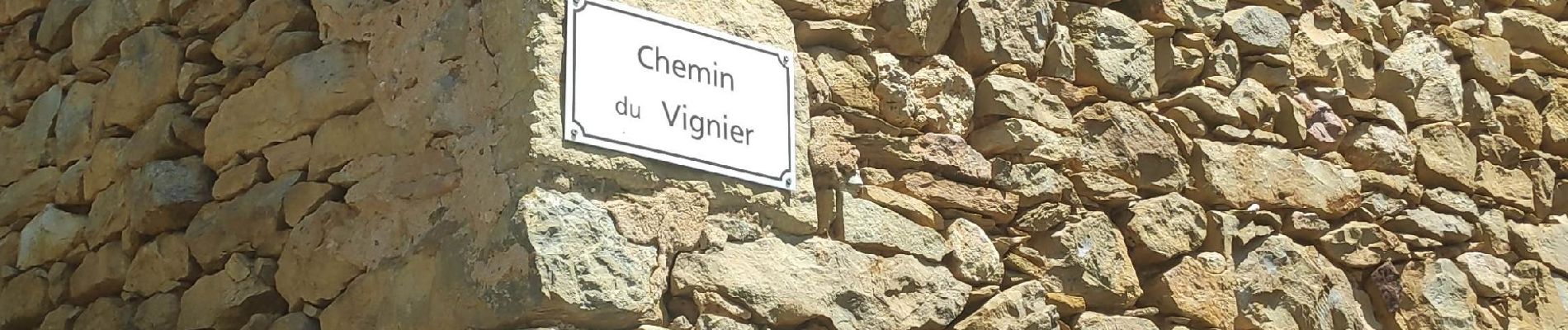
au départ de à mairie de Larroque
Photos


Positioning
Country:
France
Region :
Occitania
Department/Province :
Tarn
Municipality :
Larroque
Location:
Unknown
Start:(Dec)
Start:(UTM)
395045 ; 4873030 (31T) N.
Comments