Trail Walking Champagny-en-Vanoise - Le col de Charde (MTH-P) - Photo
 hstrobe
hstrobe

User

© OpenStreetMap contributors
Length
Length
9.4 km
Max alt
Max alt
2799 m
Uphill gradient
Uphill gradient
509 m
Km-Effort
Km-Effort  
16.2 km
Min alt
Min alt
2473 m
Downhill gradient
Downhill gradient
503 m
Boucle
Boucle
Yes
Creation date :
2014-12-10 00:00:00.0
Updated on :
2014-12-10 00:00:00.0

(0 Reviews)

Walking
Walking
4h56
Difficulty : Difficult

Scan this QR Code to open this trail in the SityTrail application

FREE GPS app for hiking

Logo SityTrail SityTrail

IGN / Geographical institutes

Download SityTrail from the App Store Download SityTrail from Google Play

Logo SityTrail SityTrail World

The world is yours!

Download SityTrail from the App Store Download SityTrail from Google Play Download SityTrail on Huawei AppGallery

About

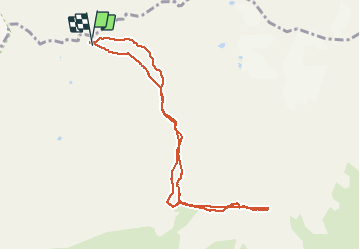
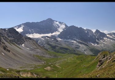
Trail Walking of 9.4 km to be discovered at Auvergne-Rhône-Alpes, Savoy, Champagny-en-Vanoise. This trail is proposed by hstrobe.

Description

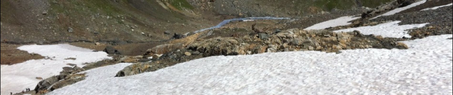
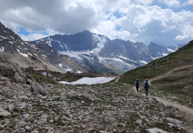
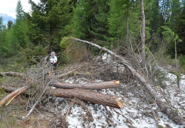
A la rencontre des chamois avec Norbert

Elevation profile

Photos

Points of interest

Point of interest Champagny-en-Vanoise - Col de la Chiaupe - Photo
hstrobe
CHAMPAGNY-EN-VANOISE 

Positioning

Country:
France
Region :
Auvergne-Rhône-Alpes
Department/Province :
Savoy
Municipality :
Champagny-en-Vanoise
Location:
Unknown
Start:(UTM)
324077 ; 5039973 (32T) N.

Trails nearby

Trail Walking Champagny-en-Vanoise - col du plan Séry et du palet - Photo
Walking
GUIDE
amiral13

Walking

Very difficult
Champagny-en-Vanoise, Auvergne-Rhône-Alpes, Savoy, France
24 km | 44 km-effort
9h 51min
Yes
Trail On foot Peisey-Nancroix - etape 2 - Photo
On foot
Billonmichel

On foot

Easy
(1)
Peisey-Nancroix, Auvergne-Rhône-Alpes, Savoy, France
9.6 km | 20 km-effort
4h 32min
No
Trail On foot La Plagne-Tarentaise - Les Frasses - Photo
On foot
PRO

On foot

Easy
La Plagne-Tarentaise, Auvergne-Rhône-Alpes, Savoy, France
5.7 km | 7.8 km-effort
1h 45min
No
Trail On foot La Plagne-Tarentaise - Boucle du Carroley - Photo
On foot
PRO

On foot

Easy
La Plagne-Tarentaise, Auvergne-Rhône-Alpes, Savoy, France
4.2 km | 7.5 km-effort
1h 41min
No
Trail On foot La Plagne-Tarentaise - Boucle de Roche de Mio - Photo
On foot
PRO

On foot

Easy
La Plagne-Tarentaise, Auvergne-Rhône-Alpes, Savoy, France
5.6 km | 12.1 km-effort
2h 44min
No
Trail Walking Peisey-Nancroix - Balade du Sanctuaire ND des Vernettes - Photo
Walking
GUIDE
Desrumaux

Walking

Medium
(1)
Peisey-Nancroix, Auvergne-Rhône-Alpes, Savoy, France
11.7 km | 21 km-effort
4h 11min
Yes
Trail Snowshoes Peisey-Nancroix - Autour de Rosuel - Photo
Snowshoes
GUIDE
pascalou73

Snowshoes

Medium
Peisey-Nancroix, Auvergne-Rhône-Alpes, Savoy, France
6.1 km | 7.5 km-effort
2h 0min
Yes
Trail Snowshoes La Plagne-Tarentaise - Bellecôte, Plagne Soleil, Centre, 1800 - Photo
Snowshoes
GUIDE
lhomme.ph

Snowshoes

Easy
La Plagne-Tarentaise, Auvergne-Rhône-Alpes, Savoy, France
7.6 km | 11.2 km-effort
2h 16min
No
Trail Walking Peisey-Nancroix - Col du Palet - Photo
Walking
flip38

Walking

Difficult
Peisey-Nancroix, Auvergne-Rhône-Alpes, Savoy, France
24 km | 39 km-effort
8h 29min
Yes


Close
My subscriptions