


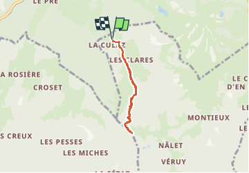

9.1 km | 26 km-effort

User


FREE GPS app for hiking
 SityTrail
IGN / Geographical institutes
SityTrail World
The world is yours!
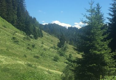
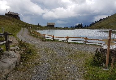
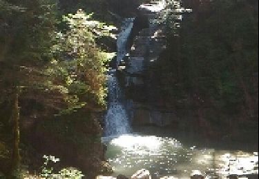
Trail Walking of 4.8 km to be discovered at Auvergne-Rhône-Alpes, Upper Savoy, Verchaix. This trail is proposed by SyMA.
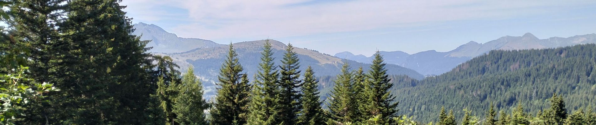
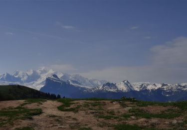
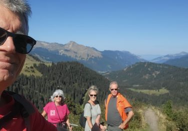
Belle rando au frais "Mouilles"
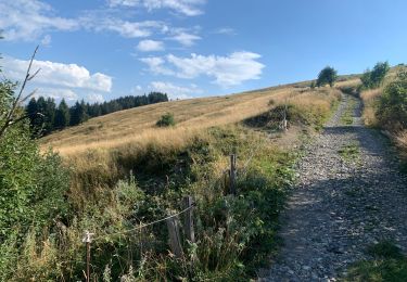
Myrtilles/ champignons


Walking
Walking
Walking
Walking
Walking
Walking

Walking
Walking
Walking