


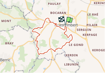


14 km | 16.9 km-effort


FREE GPS app for hiking
 SityTrail
IGN / Geographical institutes
SityTrail World
The world is yours!
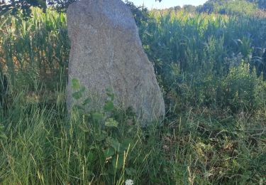
Trail of 14.5 km to be discovered at Brittany, Morbihan, Questembert. This trail is proposed by leho.yannick@orange.fr.
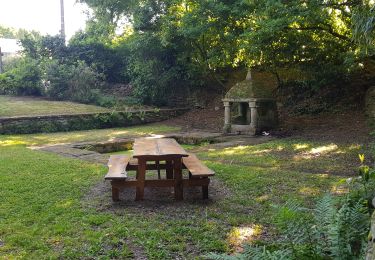
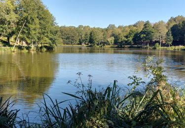
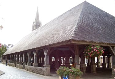
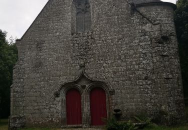
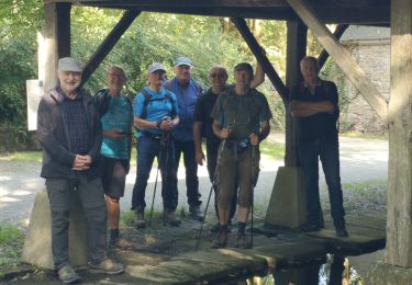
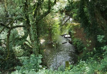
Le nom de Questembert vient de Kisten Beh qui signifie Pays des Châtaignes en breton. Tout près du centre-ville, ce circuit vous emmène le long des chemins creux vers le ruisseau de Cohignac puis la Chapelle St Jean. Sur les talus ou dans les bois, au printemps, fleurissent les asphodèles, hautes sur tige avec une hampe florale blanche. Leur nom local est « popinettes » d’où le nom du sentier. Balisage jaune. A partir de ce circuit, il est possible de rejoindre Berric par des chemins balisés.
Walking
Walking
Walking
On foot
Walking
Walking
Walking
Walking

Walking