


boucle du lac de Lauzerot via Les Gendres . cabane à Jules . clôt Besson . lac . les Gendres

stef789
User GUIDE
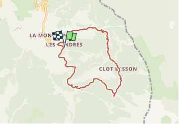

Length
8 km

Max alt
1950 m

Uphill gradient
421 m
Km-Effort
13.6 km

Min alt
1575 m

Downhill gradient
421 m
Boucle
Yes
Creation date :
2022-07-19 11:02:53.207
Updated on :
2022-07-19 16:45:43.572
3h04
Difficulty : Medium

FREE GPS app for hiking
 SityTrail
IGN / Geographical institutes
SityTrail Plus
The world is yours!
About
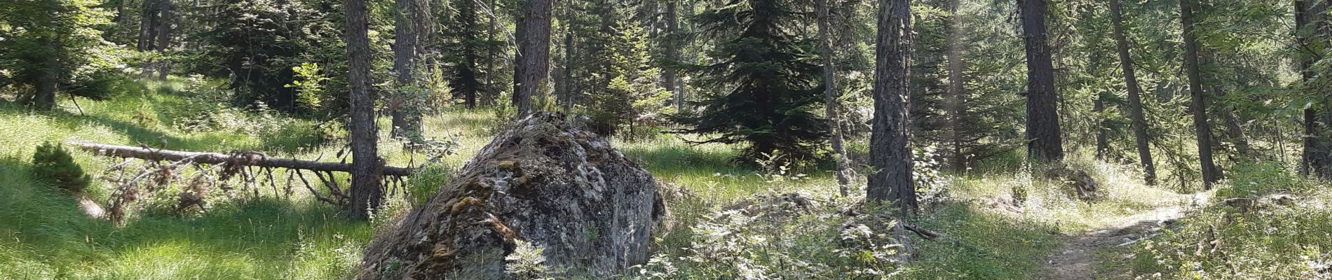
Trail Walking of 8 km to be discovered at Provence-Alpes-Côte d'Azur, Hautes-Alpes, Crots. This trail is proposed by stef789.
Photos


Positioning
Country:
France
Region :
Provence-Alpes-Côte d'Azur
Department/Province :
Hautes-Alpes
Municipality :
Crots
Location:
Unknown
Start:(Dec)
Start:(UTM)
299571 ; 4929468 (32T) N.
Comments