


Les Aiguilles de Chabrières

nicolas54230
User

Length
11.3 km

Max alt
2321 m

Uphill gradient
786 m
Km-Effort
22 km

Min alt
1550 m

Downhill gradient
788 m
Boucle
Yes
Creation date :
2022-07-22 14:55:35.805
Updated on :
2022-07-22 14:57:46.593
4h57
Difficulty : Very difficult

FREE GPS app for hiking
 SityTrail
IGN / Geographical institutes
SityTrail Plus
The world is yours!
About
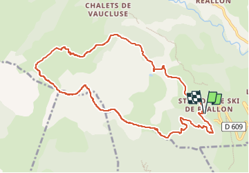
Trail Walking of 11.3 km to be discovered at Provence-Alpes-Côte d'Azur, Hautes-Alpes, Réallon. This trail is proposed by nicolas54230.
Positioning
Country:
France
Region :
Provence-Alpes-Côte d'Azur
Department/Province :
Hautes-Alpes
Municipality :
Réallon
Location:
Unknown
Start:(Dec)
Start:(UTM)
290564 ; 4939205 (32T) N.
Comments