


Mont Guillaume

nicolas54230
User
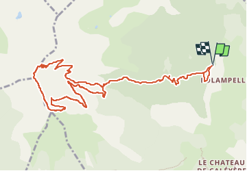

Length
13.5 km

Max alt
2610 m

Uphill gradient
1011 m
Km-Effort
27 km

Min alt
1603 m

Downhill gradient
1011 m
Boucle
Yes
Creation date :
2022-07-22 14:59:59.394
Updated on :
2022-07-22 15:00:42.981
6h07
Difficulty : Medium

FREE GPS app for hiking
 SityTrail
IGN / Geographical institutes
SityTrail Plus
The world is yours!
About
Trail On foot of 13.5 km to be discovered at Provence-Alpes-Côte d'Azur, Hautes-Alpes, Embrun. This trail is proposed by nicolas54230.
Positioning
Country:
France
Region :
Provence-Alpes-Côte d'Azur
Department/Province :
Hautes-Alpes
Municipality :
Embrun
Location:
Unknown
Start:(Dec)
Start:(UTM)
299611 ; 4940902 (32T) N.
Comments