


Semnoz, mon tour des lacs et des crêts

stef789
User GUIDE
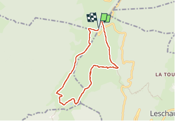

Length
8.3 km

Max alt
1694 m

Uphill gradient
381 m
Km-Effort
13.4 km

Min alt
1449 m

Downhill gradient
376 m
Boucle
Yes
Creation date :
2022-07-22 11:18:20.684
Updated on :
2022-07-22 15:24:29.257
3h23
Difficulty : Easy

FREE GPS app for hiking
 SityTrail
IGN / Geographical institutes
SityTrail Plus
The world is yours!
About
Trail Walking of 8.3 km to be discovered at Auvergne-Rhône-Alpes, Upper Savoy, Viuz-la-Chiésaz. This trail is proposed by stef789.
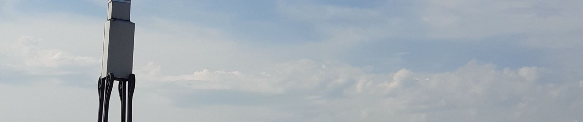
Photos


Positioning
Country:
France
Region :
Auvergne-Rhône-Alpes
Department/Province :
Upper Savoy
Municipality :
Viuz-la-Chiésaz
Location:
Unknown
Start:(Dec)
Start:(UTM)
274789 ; 5075238 (32T) N.
Comments