


10.5 km | 21 km-effort


User


FREE GPS app for hiking
 SityTrail
IGN / Geographical institutes
SityTrail World
The world is yours!
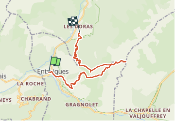
Trail Walking of 16.6 km to be discovered at Auvergne-Rhône-Alpes, Isère, Entraigues. This trail is proposed by Maryma.
Hors sentier sur la crête menant à la Tête du Vet, ainsi qu'à la descente vers le Jas des Agneaux (pente raide). La dernière partie sous les bois menant à Dessous la Roche est languissante. Dans l'idéal, après avoir atteint la Tête du Vet, revenir sur ses pas jusqu'à Col Blanc et redescendre par la Cabane de la Draye.

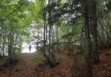
Walking
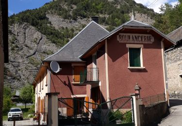
Walking

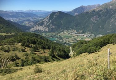
Walking
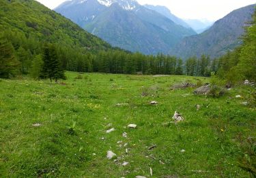
Walking
Touring skiing
Walking
Walking
Walking
Walking