


Voie verte suisse normande

yves62410
User
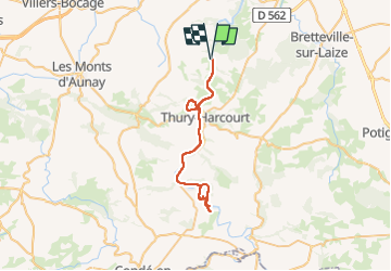

Length
47 km

Max alt
79 m

Uphill gradient
474 m
Km-Effort
53 km

Min alt
18 m

Downhill gradient
474 m
Boucle
Yes
Creation date :
2022-07-26 09:45:36.0
Updated on :
2022-07-26 19:39:10.609
4h14
Difficulty : Easy

FREE GPS app for hiking
 SityTrail
IGN / Geographical institutes
SityTrail Plus
The world is yours!
About
Trail Road bike of 47 km to be discovered at Normandy, Calvados, Montillières-sur-Orne. This trail is proposed by yves62410.
Description
Trop plat
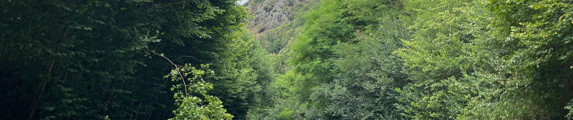
Photos

Positioning
Country:
France
Region :
Normandy
Department/Province :
Calvados
Municipality :
Montillières-sur-Orne
Location:
Goupillières
Start:(Dec)
Start:(UTM)
685146 ; 5434221 (30U) N.
Comments