


Malleval

raygautier
User
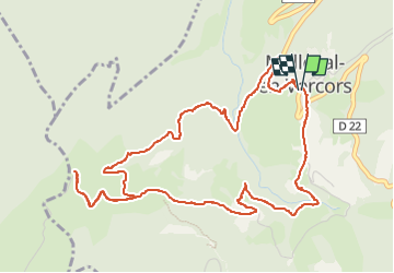

Length
6.6 km

Max alt
1158 m

Uphill gradient
314 m
Km-Effort
10.8 km

Min alt
873 m

Downhill gradient
319 m
Boucle
Yes
Creation date :
2022-07-26 08:45:31.0
Updated on :
2022-07-26 20:22:22.923
1h49
Difficulty : Medium

FREE GPS app for hiking
 SityTrail
IGN / Geographical institutes
SityTrail Plus
The world is yours!
About
Trail Walking of 6.6 km to be discovered at Auvergne-Rhône-Alpes, Isère, Malleval-en-Vercors. This trail is proposed by raygautier.
Positioning
Country:
France
Region :
Auvergne-Rhône-Alpes
Department/Province :
Isère
Municipality :
Malleval-en-Vercors
Location:
Unknown
Start:(Dec)
Start:(UTM)
691612 ; 5002129 (31T) N.
Comments