


Gavarnie étape 4

alfreson
User
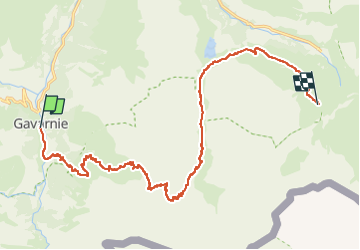

Length
19.4 km

Max alt
2448 m

Uphill gradient
1376 m
Km-Effort
36 km

Min alt
1371 m

Downhill gradient
928 m
Boucle
No
Creation date :
2022-07-21 08:45:35.0
Updated on :
2022-07-29 07:14:36.92
6h18
Difficulty : Very difficult

FREE GPS app for hiking
 SityTrail
IGN / Geographical institutes
SityTrail Plus
The world is yours!
About
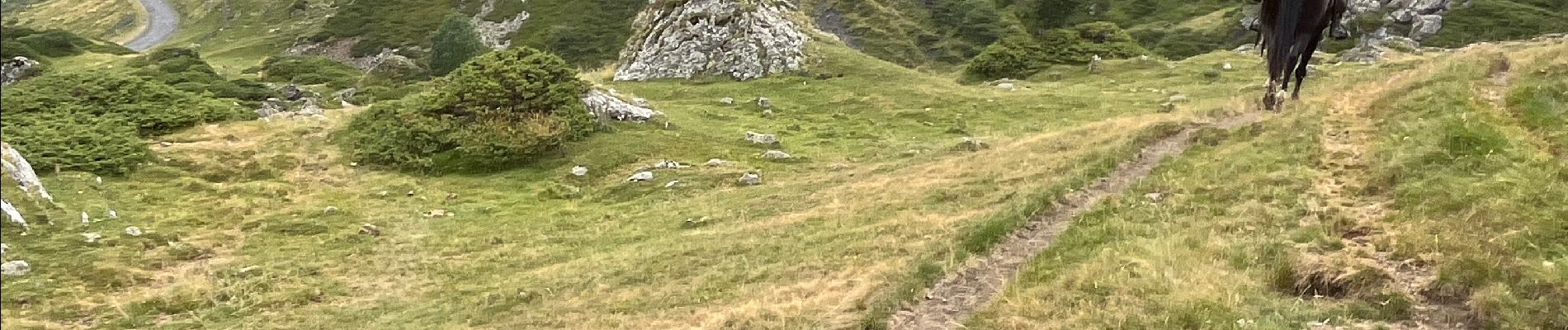
Trail Horseback riding of 19.4 km to be discovered at Occitania, Hautespyrenees, Gavarnie-Gèdre. This trail is proposed by alfreson.
Photos


47 photos in total. Please click on a photo to see them all in the gallery.
Positioning
Country:
France
Region :
Occitania
Department/Province :
Hautespyrenees
Municipality :
Gavarnie-Gèdre
Location:
Gavarnie
Start:(Dec)
Start:(UTM)
744862 ; 4735302 (30T) N.
Comments