


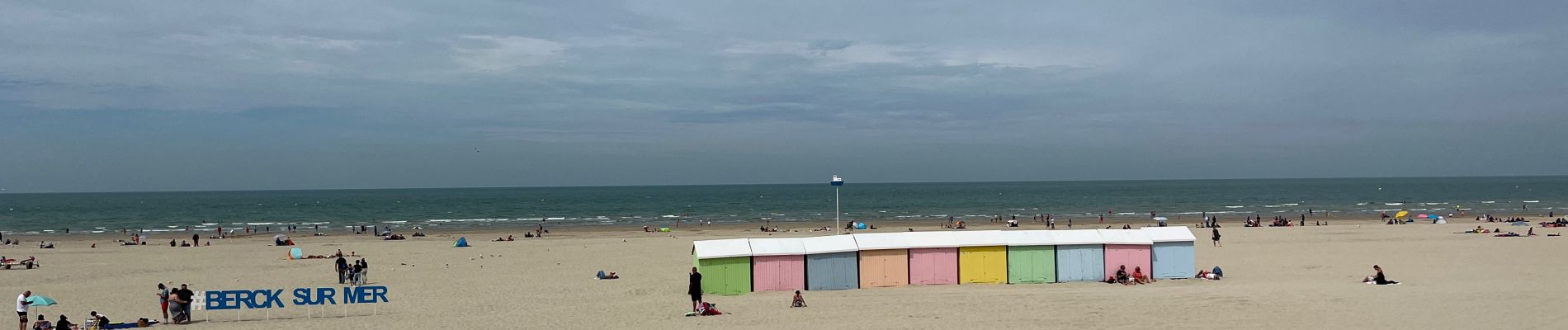
Berck - baie d’Authie

alfreson
User


Length
6.3 km

Max alt
12 m

Uphill gradient
38 m
Km-Effort
6.8 km

Min alt
0 m

Downhill gradient
36 m
Boucle
No
Creation date :
2022-07-30 09:40:14.0
Updated on :
2022-07-30 14:42:29.475
2h17
Difficulty : Easy

FREE GPS app for hiking
 SityTrail
IGN / Geographical institutes
SityTrail Plus
The world is yours!
About
Trail Walking of 6.3 km to be discovered at Hauts-de-France, Pas-de-Calais, Berck. This trail is proposed by alfreson.
Photos


Positioning
Country:
France
Region :
Hauts-de-France
Department/Province :
Pas-de-Calais
Municipality :
Berck
Location:
Unknown
Start:(Dec)
Start:(UTM)
397780 ; 5583521 (31U) N.
Comments