


Barbière Pierre Chauve

alinetpierre
User
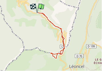

Length
8.1 km

Max alt
1299 m

Uphill gradient
555 m
Km-Effort
15.5 km

Min alt
773 m

Downhill gradient
556 m
Boucle
Yes
Creation date :
2022-07-31 05:35:45.0
Updated on :
2022-07-31 09:03:58.809
2h25
Difficulty : Medium

FREE GPS app for hiking
 SityTrail
IGN / Geographical institutes
SityTrail Plus
The world is yours!
About
Trail Walking of 8.1 km to be discovered at Auvergne-Rhône-Alpes, Drôme, Barbières. This trail is proposed by alinetpierre.
Description
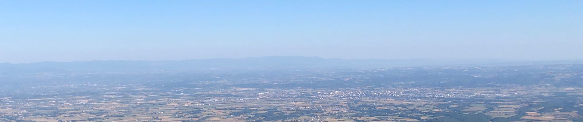
Belle randonnée dans les monts du matin
Photos


Positioning
Country:
France
Region :
Auvergne-Rhône-Alpes
Department/Province :
Drôme
Municipality :
Barbières
Location:
Unknown
Start:(Dec)
Start:(UTM)
671102 ; 4977946 (31T) N.
Comments