


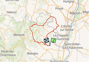

21 km | 31 km-effort


User


FREE GPS app for hiking
 SityTrail
IGN / Geographical institutes
SityTrail World
The world is yours!
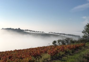
Trail Road bike of 54 km to be discovered at Auvergne-Rhône-Alpes, Rhône, Fleurie. This trail is proposed by henristraetmans.
Magnifique rando dans les villages du beaujolais et vue depuis la terasse (maison des crus de Chiroubles)
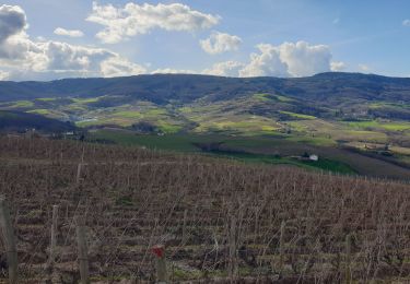
Retour par la Roche de solutre, Saint Veran, Saint Amour, Julienas

Walking
Walking
Walking
Walking
On foot
Walking
Walking

Running
Walking