


Egaules

Gegetop
User
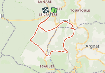

Length
7.8 km

Max alt
820 m

Uphill gradient
139 m
Km-Effort
9.7 km

Min alt
720 m

Downhill gradient
139 m
Boucle
Yes
Creation date :
2022-08-01 05:35:27.989
Updated on :
2022-08-01 07:18:42.571
1h39
Difficulty : Very easy

FREE GPS app for hiking
 SityTrail
IGN / Geographical institutes
SityTrail Plus
The world is yours!
About
Trail Walking of 7.8 km to be discovered at Auvergne-Rhône-Alpes, Puy-de-Dôme, Volvic. This trail is proposed by Gegetop.
Description
Jolie boucle très boisée à faire en été car beaucoup d'ombre.
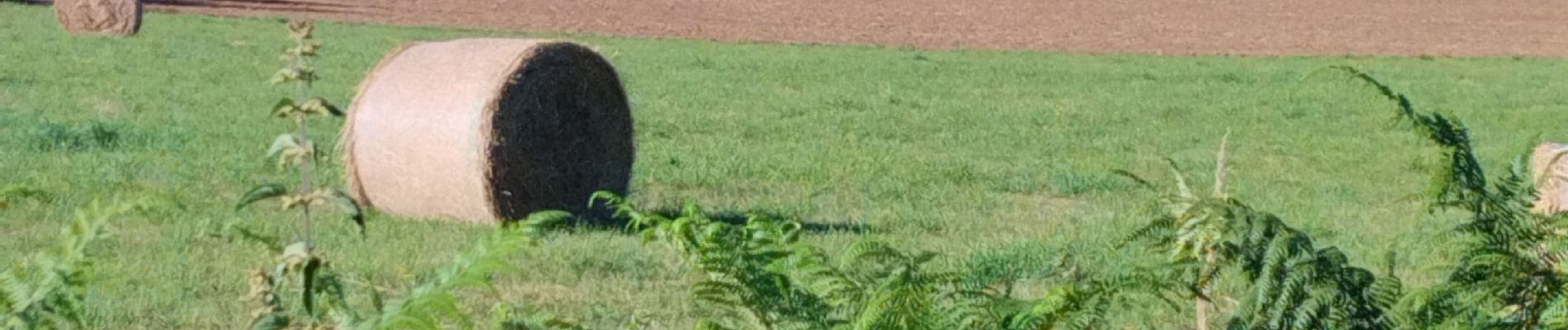
Photos

Positioning
Country:
France
Region :
Auvergne-Rhône-Alpes
Department/Province :
Puy-de-Dôme
Municipality :
Volvic
Location:
Unknown
Start:(Dec)
Start:(UTM)
500529 ; 5078235 (31T) N.
Comments