


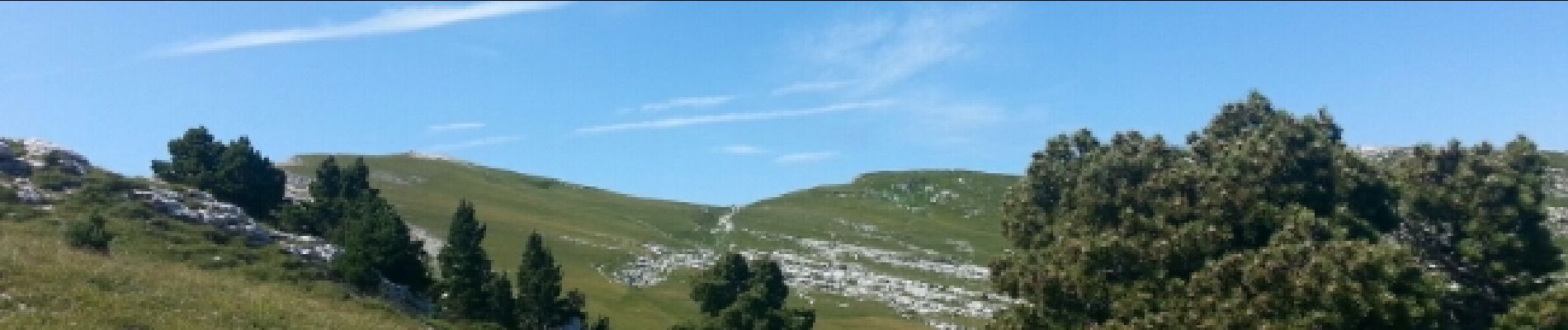
col du coq-dent de crolles par le trou du glaz

maupassant38
User


Length
9.9 km

Max alt
2038 m

Uphill gradient
825 m
Km-Effort
21 km

Min alt
1404 m

Downhill gradient
828 m
Boucle
Yes
Creation date :
2019-02-22 22:32:03.228
Updated on :
2019-02-22 22:32:03.259
3h12
Difficulty : Medium

FREE GPS app for hiking
 SityTrail
IGN / Geographical institutes
SityTrail Plus
The world is yours!
About
Trail Walking of 9.9 km to be discovered at Auvergne-Rhône-Alpes, Isère, Saint-Pierre-de-Chartreuse. This trail is proposed by maupassant38.
Photos


Positioning
Country:
France
Region :
Auvergne-Rhône-Alpes
Department/Province :
Isère
Municipality :
Saint-Pierre-de-Chartreuse
Location:
Unknown
Start:(Dec)
Start:(UTM)
722390 ; 5020469 (31T) N.
Comments