


pic de brue

jacquesduchesne
User
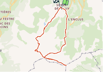

Length
19.9 km

Max alt
2696 m

Uphill gradient
1399 m
Km-Effort
38 km

Min alt
1475 m

Downhill gradient
1386 m
Boucle
No
Creation date :
2022-08-02 05:31:39.965
Updated on :
2022-08-02 14:25:53.409
8h53
Difficulty : Very difficult

FREE GPS app for hiking
 SityTrail
IGN / Geographical institutes
SityTrail Plus
The world is yours!
About
Trail Walking of 19.9 km to be discovered at Provence-Alpes-Côte d'Azur, Hautes-Alpes, Le Dévoluy. This trail is proposed by jacquesduchesne.
Positioning
Country:
France
Region :
Provence-Alpes-Côte d'Azur
Department/Province :
Hautes-Alpes
Municipality :
Le Dévoluy
Location:
Saint-Étienne-en-Dévoluy
Start:(Dec)
Start:(UTM)
732167 ; 4951016 (31T) N.
Comments