


20220802-Perriers sur Andelle

doudet
User

Length
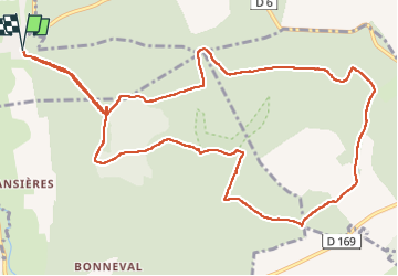
12.7 km

Max alt
169 m

Uphill gradient
267 m
Km-Effort
16.3 km

Min alt
50 m

Downhill gradient
266 m
Boucle
Yes
Creation date :
2022-08-02 11:54:36.573
Updated on :
2022-08-02 17:10:41.938
3h33
Difficulty : Medium

FREE GPS app for hiking
 SityTrail
IGN / Geographical institutes
SityTrail Plus
The world is yours!
About
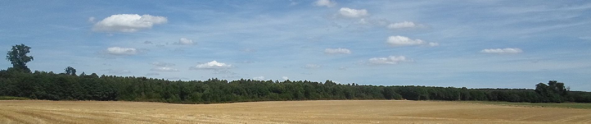
Trail Walking of 12.7 km to be discovered at Normandy, Eure, Perriers-sur-Andelle. This trail is proposed by doudet.
Description
Boucle A-R au départ de la rue de la Vallette
Photos


Positioning
Country:
France
Region :
Normandy
Department/Province :
Eure
Municipality :
Perriers-sur-Andelle
Location:
Unknown
Start:(Dec)
Start:(UTM)
382432 ; 5473903 (31U) N.
Comments