


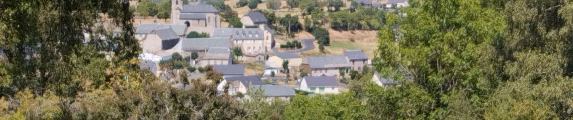
Laveissenet

Gegetop
User
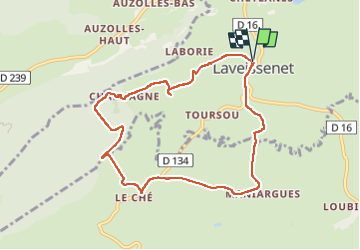

Length
8.8 km

Max alt
1272 m

Uphill gradient
182 m
Km-Effort
11.2 km

Min alt
1111 m

Downhill gradient
183 m
Boucle
Yes
Creation date :
2022-08-04 09:27:30.75
Updated on :
2022-08-04 12:42:22.594
2h37
Difficulty : Medium

FREE GPS app for hiking
 SityTrail
IGN / Geographical institutes
SityTrail Plus
The world is yours!
About
Trail Walking of 8.8 km to be discovered at Auvergne-Rhône-Alpes, Cantal, Laveissenet. This trail is proposed by Gegetop.
Description
Boucle, passage un peu flou vers Chalmagne .
Photos

Positioning
Country:
France
Region :
Auvergne-Rhône-Alpes
Department/Province :
Cantal
Municipality :
Laveissenet
Location:
Unknown
Start:(Dec)
Start:(UTM)
491225 ; 4992163 (31T) N.
Comments