


Tour du lac de St Pardoux

csy95
User
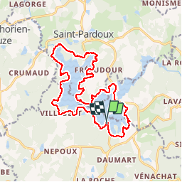

Length
18.3 km

Max alt
397 m

Uphill gradient
284 m
Km-Effort
22 km

Min alt
357 m

Downhill gradient
281 m
Boucle
Yes
Creation date :
2018-08-26 10:57:55.433
Updated on :
2018-08-26 10:57:55.471
1h58
Difficulty : Difficult

FREE GPS app for hiking
 SityTrail
IGN / Geographical institutes
SityTrail Plus
The world is yours!
About
Trail Mountain bike of 18.3 km to be discovered at New Aquitaine, Haute-Vienne, Compreignac. This trail is proposed by csy95.
Description
Des Racines et des Cailloux mais aussi des plages
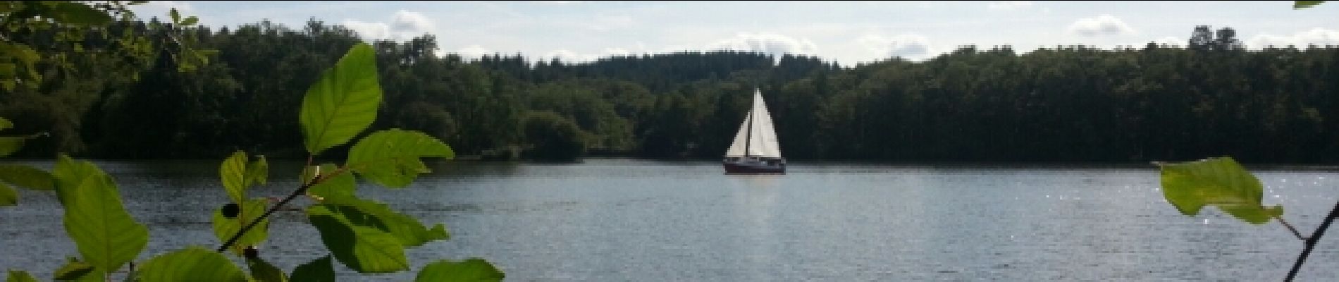
Photos


Positioning
Country:
France
Region :
New Aquitaine
Department/Province :
Haute-Vienne
Municipality :
Compreignac
Location:
Unknown
Start:(Dec)
Start:(UTM)
367788 ; 5098528 (31T) N.
Comments
Ma Maison