


Boucl wingles mons en pevelle

yves62410
User
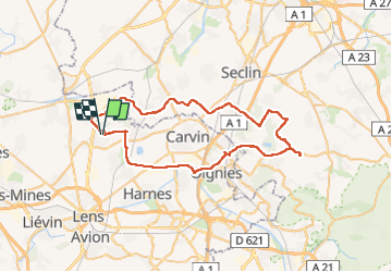

Length
55 km

Max alt
96 m

Uphill gradient
332 m
Km-Effort
59 km

Min alt
18 m

Downhill gradient
331 m
Boucle
Yes
Creation date :
2022-08-07 07:47:48.0
Updated on :
2022-08-07 10:54:25.445
3h05
Difficulty : Medium

FREE GPS app for hiking
 SityTrail
IGN / Geographical institutes
SityTrail Plus
The world is yours!
About
Trail Road bike of 55 km to be discovered at Hauts-de-France, Pas-de-Calais, Wingles. This trail is proposed by yves62410.
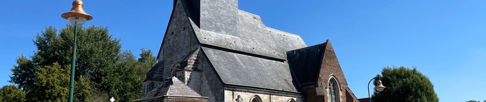
Photos

Positioning
Country:
France
Region :
Hauts-de-France
Department/Province :
Pas-de-Calais
Municipality :
Wingles
Location:
Unknown
Start:(Dec)
Start:(UTM)
489456 ; 5593735 (31U) N.
Comments