


etang de st pierre

NESTOR2714
User
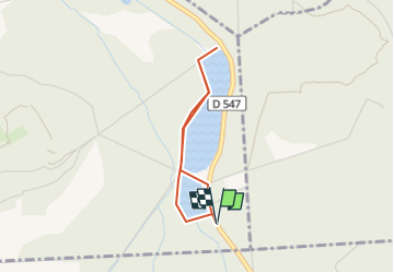

Length
2.5 km

Max alt
72 m

Uphill gradient
16 m
Km-Effort
2.8 km

Min alt
60 m

Downhill gradient
17 m
Boucle
Yes
Creation date :
2022-08-07 17:04:53.647
Updated on :
2022-08-07 17:05:56.873
37m
Difficulty : Easy

FREE GPS app for hiking
 SityTrail
IGN / Geographical institutes
SityTrail Plus
The world is yours!
About
Trail Walking of 2.5 km to be discovered at Hauts-de-France, Oise, Vieux-Moulin. This trail is proposed by NESTOR2714.
Positioning
Country:
France
Region :
Hauts-de-France
Department/Province :
Oise
Municipality :
Vieux-Moulin
Location:
Unknown
Start:(Dec)
Start:(UTM)
497658 ; 5468758 (31U) N.
Comments