


Ropperviller

audrey54
User
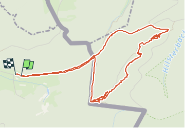

Length
6.8 km

Max alt
402 m

Uphill gradient
134 m
Km-Effort
8.6 km

Min alt
307 m

Downhill gradient
133 m
Boucle
Yes
Creation date :
2022-08-09 08:43:28.0
Updated on :
2022-08-09 12:00:35.972
3h09
Difficulty : Unknown

FREE GPS app for hiking
 SityTrail
IGN / Geographical institutes
SityTrail Plus
The world is yours!
About
Trail Walking of 6.8 km to be discovered at Grand Est, Moselle, Roppeviller. This trail is proposed by audrey54.
Positioning
Country:
France
Region :
Grand Est
Department/Province :
Moselle
Municipality :
Roppeviller
Location:
Unknown
Start:(Dec)
Start:(UTM)
391769 ; 5439644 (32U) N.
Comments