


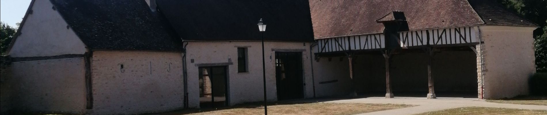
Chambors le bois de la Garenne et le marais de Reilly

serge.guerroult
User
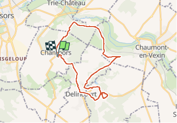

Length
14.9 km

Max alt
146 m

Uphill gradient
315 m
Km-Effort
19.1 km

Min alt
64 m

Downhill gradient
314 m
Boucle
Yes
Creation date :
2022-08-13 06:29:23.401
Updated on :
2022-08-13 10:16:22.699
2h49
Difficulty : Very difficult

FREE GPS app for hiking
 SityTrail
IGN / Geographical institutes
SityTrail Plus
The world is yours!
About
Trail Walking of 14.9 km to be discovered at Hauts-de-France, Oise, Chambors. This trail is proposed by serge.guerroult.
Photos

Positioning
Country:
France
Region :
Hauts-de-France
Department/Province :
Oise
Municipality :
Chambors
Location:
Unknown
Start:(Dec)
Start:(UTM)
413888 ; 5457037 (31U) N.
Comments