


73 2022 08 12 Bessans - Le Villaron-La Goulaz

OLYMP42
User
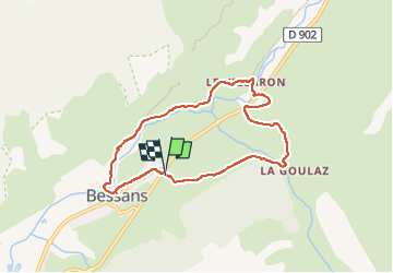

Length
7.4 km

Max alt
1771 m

Uphill gradient
111 m
Km-Effort
8.8 km

Min alt
1703 m

Downhill gradient
112 m
Boucle
Yes
Creation date :
2022-08-12 12:54:42.52
Updated on :
2022-08-15 14:49:22.146
1h52
Difficulty : Easy

FREE GPS app for hiking
 SityTrail
IGN / Geographical institutes
SityTrail Plus
The world is yours!
About
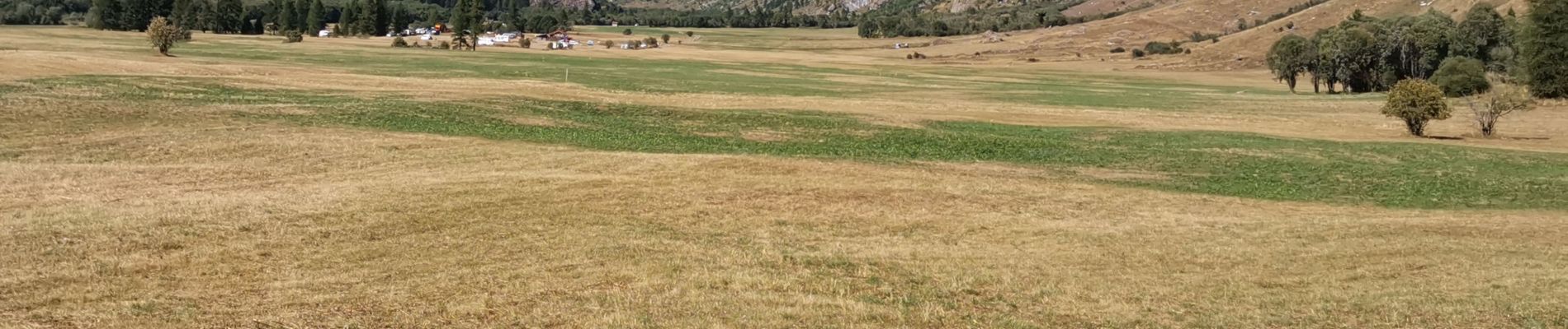
Trail Walking of 7.4 km to be discovered at Auvergne-Rhône-Alpes, Savoy, Bessans. This trail is proposed by OLYMP42.
Photos

Positioning
Country:
France
Region :
Auvergne-Rhône-Alpes
Department/Province :
Savoy
Municipality :
Bessans
Location:
Unknown
Start:(Dec)
Start:(UTM)
343390 ; 5020778 (32T) N.
Comments