


GTJ jour 8

werth
User

Length
19.9 km

Max alt
1064 m

Uphill gradient
636 m
Km-Effort
28 km

Min alt
839 m

Downhill gradient
625 m
Boucle
No
Creation date :
2022-08-11 07:14:27.745
Updated on :
2022-08-16 12:53:41.822
22h49
Difficulty : Difficult

FREE GPS app for hiking
 SityTrail
IGN / Geographical institutes
SityTrail Plus
The world is yours!
About
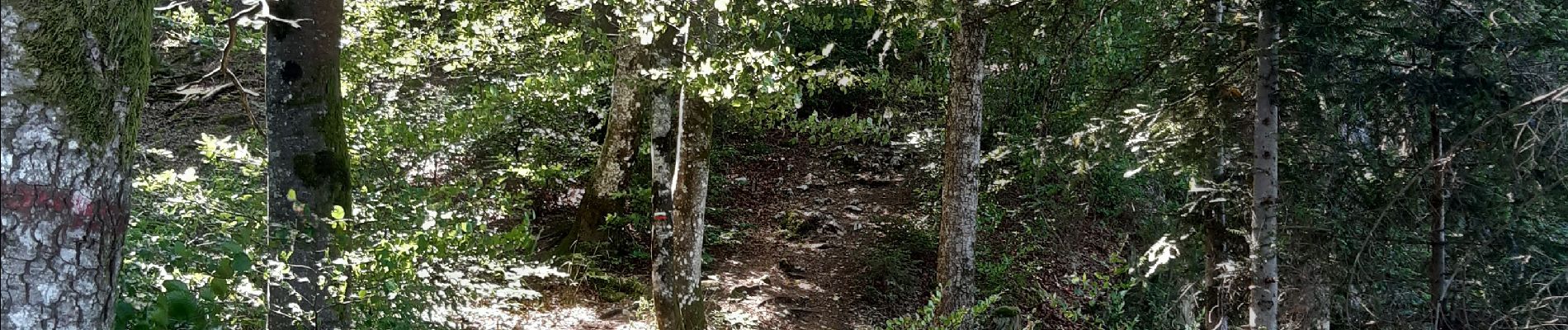
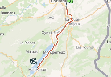
Trail Walking of 19.9 km to be discovered at Bourgogne-Franche-Comté, Doubs, Pontarlier. This trail is proposed by werth.
Photos

Positioning
Country:
France
Region :
Bourgogne-Franche-Comté
Department/Province :
Doubs
Municipality :
Pontarlier
Location:
Unknown
Start:(Dec)
Start:(UTM)
299395 ; 5196830 (32T) N.
Comments