


port vendre . cap bear / retour

stef789
User GUIDE
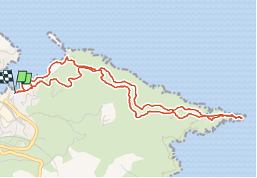

Length
6.6 km

Max alt
112 m

Uphill gradient
193 m
Km-Effort
9.2 km

Min alt
1 m

Downhill gradient
193 m
Boucle
Yes
Creation date :
2022-08-16 12:50:40.302
Updated on :
2022-08-16 15:37:12.288
2h44
Difficulty : Very easy

FREE GPS app for hiking
 SityTrail
IGN / Geographical institutes
SityTrail Plus
The world is yours!
About
Trail Walking of 6.6 km to be discovered at Occitania, Pyrénées-Orientales, Port-Vendres. This trail is proposed by stef789.
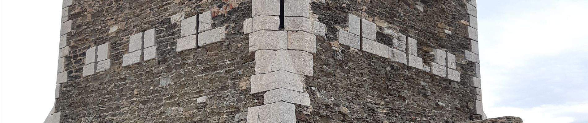
Photos


24 photos in total. Please click on a photo to see them all in the gallery.
Positioning
Country:
France
Region :
Occitania
Department/Province :
Pyrénées-Orientales
Municipality :
Port-Vendres
Location:
Unknown
Start:(Dec)
Start:(UTM)
509313 ; 4707266 (31T) N.
Comments