


bois

Divio
User

Length
41 km

Max alt
267 m

Uphill gradient
737 m
Km-Effort
51 km

Min alt
139 m

Downhill gradient
760 m
Boucle
No
Creation date :
2022-08-16 06:30:00.688
Updated on :
2022-08-17 12:36:50.991
4h03
Difficulty : Very easy

FREE GPS app for hiking
 SityTrail
IGN / Geographical institutes
SityTrail Plus
The world is yours!
About
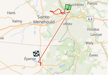
Trail Nordic walking of 41 km to be discovered at Grand Est, Marne, Sainte-Menehould. This trail is proposed by Divio.
Positioning
Country:
France
Region :
Grand Est
Department/Province :
Marne
Municipality :
Sainte-Menehould
Location:
Unknown
Start:(Dec)
Start:(UTM)
645193 ; 5441137 (31U) N.
Comments