


Botassart, là où coule une rivière

Boubby
User
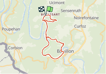

Length
14.9 km

Max alt
369 m

Uphill gradient
472 m
Km-Effort
21 km

Min alt
211 m

Downhill gradient
468 m
Boucle
Yes
Creation date :
2022-08-19 08:31:42.0
Updated on :
2022-08-19 14:03:12.313
5h30
Difficulty : Difficult

FREE GPS app for hiking
 SityTrail
IGN / Geographical institutes
SityTrail Plus
The world is yours!
About
Trail Walking of 14.9 km to be discovered at Wallonia, Luxembourg, Bouillon. This trail is proposed by Boubby.
Description
Départ du point de vue du tombeau du géant à Botassart,le décor est planté pour cette jolie balade menant au bord des rives de la Semois jusque Bouillon et retour au parking de Botassart
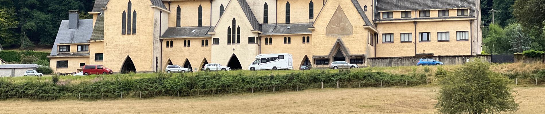
Photos


Positioning
Country:
Belgium
Region :
Wallonia
Department/Province :
Luxembourg
Municipality :
Bouillon
Location:
Unknown
Start:(Dec)
Start:(UTM)
647037 ; 5520774 (31U) N.
Comments