


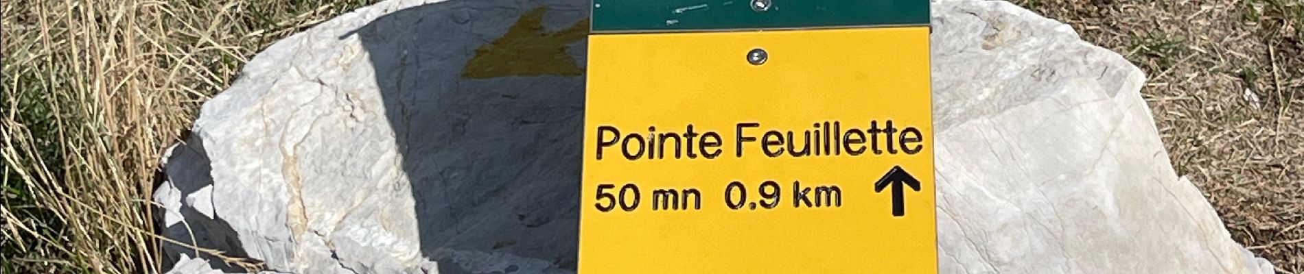
MAS REBUFAT - POINTE FEUILLETTE

RD78-38
User
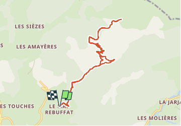

Length
11.7 km

Max alt
1699 m

Uphill gradient
649 m
Km-Effort
20 km

Min alt
1121 m

Downhill gradient
646 m
Boucle
Yes
Creation date :
2022-08-26 07:27:40.0
Updated on :
2022-08-26 13:33:53.232
3h33
Difficulty : Medium

FREE GPS app for hiking
 SityTrail
IGN / Geographical institutes
SityTrail Plus
The world is yours!
About
Trail Walking of 11.7 km to be discovered at Auvergne-Rhône-Alpes, Drôme, Lus-la-Croix-Haute. This trail is proposed by RD78-38.
Description
Montée longue mais régulière. Petit raidillon en final.
Très belle vue. Je conseille.
Photos


Positioning
Country:
France
Region :
Auvergne-Rhône-Alpes
Department/Province :
Drôme
Municipality :
Lus-la-Croix-Haute
Location:
Unknown
Start:(Dec)
Start:(UTM)
715460 ; 4950417 (31T) N.
Comments