


2022-08-29_23h30m27_ChapelleDesBures2015

nouga
User
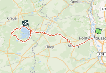

Length
50 km

Max alt
377 m

Uphill gradient
694 m
Km-Effort
59 km

Min alt
178 m

Downhill gradient
653 m
Boucle
No
Creation date :
2022-08-29 21:30:27.227
Updated on :
2022-08-29 21:30:28.689

FREE GPS app for hiking
 SityTrail
IGN / Geographical institutes
SityTrail Plus
The world is yours!
About
Trail of 50 km to be discovered at Grand Est, Meurthe-et-Moselle, Pont-à-Mousson. This trail is proposed by nouga.
Positioning
Country:
France
Region :
Grand Est
Department/Province :
Meurthe-et-Moselle
Municipality :
Pont-à-Mousson
Location:
Unknown
Start:(Dec)
Start:(UTM)
284277 ; 5420895 (32U) N.
Comments