


LES MOUILLES-TETE NOIRE-TETE DU PLANEY-LE CHANTE

RD78-38
User

Length
8.5 km

Max alt
1892 m

Uphill gradient
631 m
Km-Effort
16.9 km

Min alt
1261 m

Downhill gradient
629 m
Boucle
Yes
Creation date :
2022-08-30 07:08:01.94
Updated on :
2022-08-30 07:09:53.112
3h50
Difficulty : Difficult

FREE GPS app for hiking
 SityTrail
IGN / Geographical institutes
SityTrail Plus
The world is yours!
About
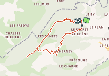
Trail Walking of 8.5 km to be discovered at Auvergne-Rhône-Alpes, Upper Savoy, Cordon. This trail is proposed by RD78-38.
Positioning
Country:
France
Region :
Auvergne-Rhône-Alpes
Department/Province :
Upper Savoy
Municipality :
Cordon
Location:
Unknown
Start:(Dec)
Start:(UTM)
313239 ; 5088252 (32T) N.
Comments