


lac de servieres

gilles cochin
User
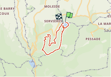

Length
12.1 km

Max alt
1486 m

Uphill gradient
339 m
Km-Effort
16.6 km

Min alt
1204 m

Downhill gradient
344 m
Boucle
No
Creation date :
2022-09-03 09:52:15.392
Updated on :
2022-09-03 17:53:50.433
4h49
Difficulty : Medium

FREE GPS app for hiking
 SityTrail
IGN / Geographical institutes
SityTrail Plus
The world is yours!
About
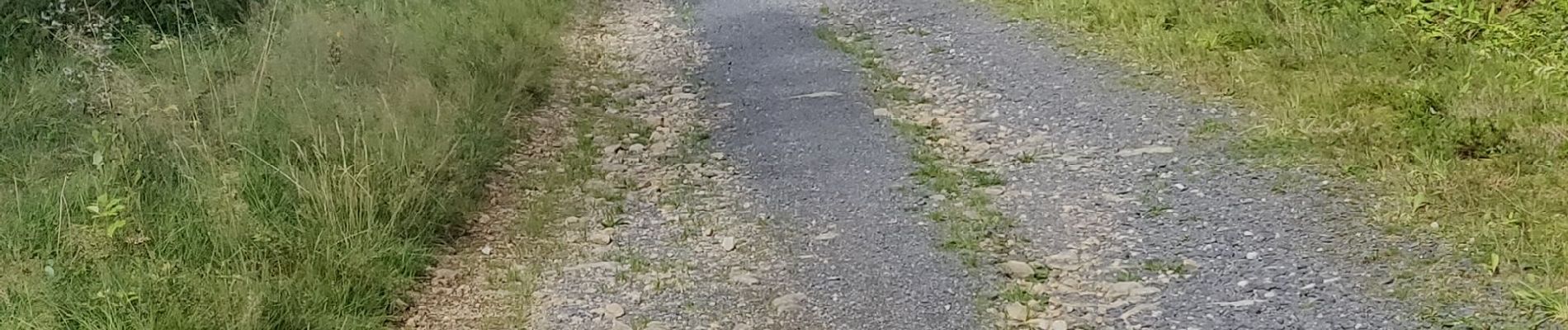
Trail Walking of 12.1 km to be discovered at Auvergne-Rhône-Alpes, Puy-de-Dôme, Vernines. This trail is proposed by gilles cochin.
Photos


Positioning
Country:
France
Region :
Auvergne-Rhône-Alpes
Department/Province :
Puy-de-Dôme
Municipality :
Vernines
Location:
Unknown
Start:(Dec)
Start:(UTM)
488984 ; 5054941 (31T) N.
Comments