


Eymoutiers à Lacelle

Nono55
User
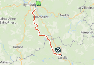

Length
16.5 km

Max alt
722 m

Uphill gradient
465 m
Km-Effort
22 km

Min alt
467 m

Downhill gradient
309 m
Boucle
No
Creation date :
2022-09-04 06:21:29.0
Updated on :
2022-09-04 14:09:28.84
4h07
Difficulty : Medium

FREE GPS app for hiking
 SityTrail
IGN / Geographical institutes
SityTrail Plus
The world is yours!
About
Trail Walking of 16.5 km to be discovered at New Aquitaine, Haute-Vienne, Eymoutiers. This trail is proposed by Nono55.
Description
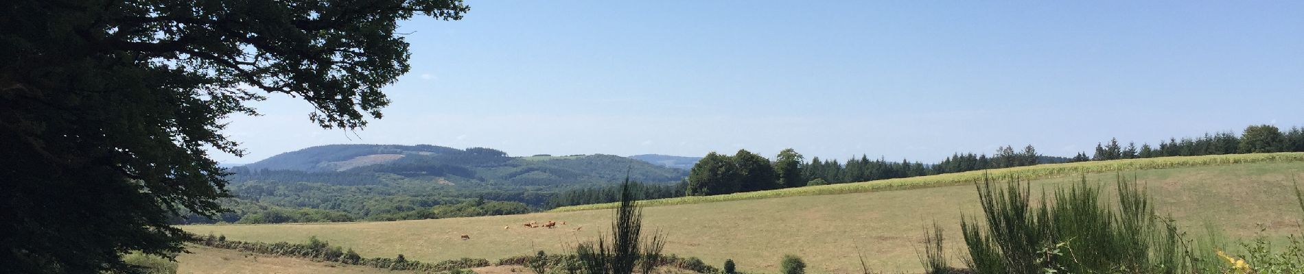
Super départ montée difficile et longue mais superbe chemin
Sur la fin moins sympa beaucoup de route
Photos


Positioning
Country:
France
Region :
New Aquitaine
Department/Province :
Haute-Vienne
Municipality :
Eymoutiers
Location:
Unknown
Start:(Dec)
Start:(UTM)
402977 ; 5064826 (31T) N.
Comments