


Plan de l'aiguille-Montenvert

crocau
User
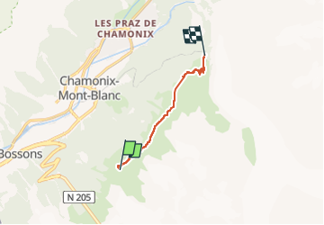

Length
5.9 km

Max alt
2277 m

Uphill gradient
162 m
Km-Effort
9.3 km

Min alt
1906 m

Downhill gradient
524 m
Boucle
No
Creation date :
2022-09-04 11:17:09.09
Updated on :
2022-09-20 18:24:51.353
2h32
Difficulty : Medium

FREE GPS app for hiking
 SityTrail
IGN / Geographical institutes
SityTrail Plus
The world is yours!
About
Trail Walking of 5.9 km to be discovered at Auvergne-Rhône-Alpes, Upper Savoy, Chamonix-Mont-Blanc. This trail is proposed by crocau.
Description
Rando facile avec deux options de "sorties" : 2h40 ou 3h ( plus sécure) . C'est cette deuxième solution que nous avons choisie.
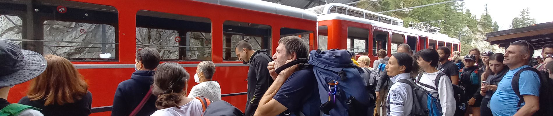
Photos


Positioning
Country:
France
Region :
Auvergne-Rhône-Alpes
Department/Province :
Upper Savoy
Municipality :
Chamonix-Mont-Blanc
Location:
Unknown
Start:(Dec)
Start:(UTM)
335902 ; 5085430 (32T) N.
Comments