


220905 Tombe Gérant

randodan
User
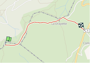

Length
1.4 km

Max alt
335 m

Uphill gradient
8 m
Km-Effort
1.7 km

Min alt
264 m

Downhill gradient
77 m
Boucle
No
Creation date :
2022-09-05 08:32:14.3
Updated on :
2022-09-05 09:10:12.034
37m
Difficulty : Easy

FREE GPS app for hiking
 SityTrail
IGN / Geographical institutes
SityTrail Plus
The world is yours!
About
Trail Walking of 1.4 km to be discovered at Auvergne-Rhône-Alpes, Ardèche, Chauzon. This trail is proposed by randodan.
Positioning
Country:
France
Region :
Auvergne-Rhône-Alpes
Department/Province :
Ardèche
Municipality :
Chauzon
Location:
Unknown
Start:(Dec)
Start:(UTM)
605719 ; 4929744 (31T) N.
Comments