


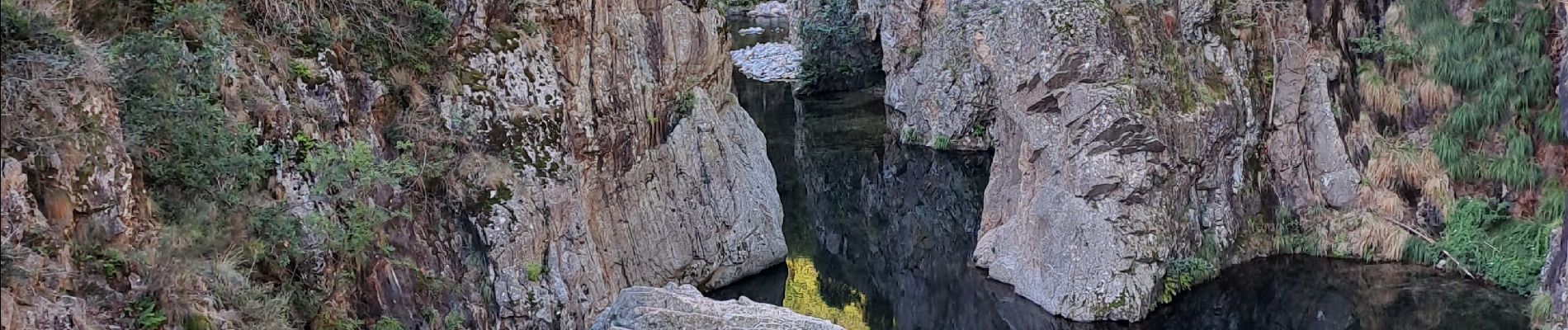
Pont du diable - Échelles du roi et de la reine

PhilippeC54
User


Length
5.5 km

Max alt
601 m

Uphill gradient
343 m
Km-Effort
10 km

Min alt
387 m

Downhill gradient
331 m
Boucle
Yes
Creation date :
2022-09-09 07:52:04.892
Updated on :
2022-09-09 10:31:39.031
1h55
Difficulty : Medium

FREE GPS app for hiking
 SityTrail
IGN / Geographical institutes
SityTrail Plus
The world is yours!
About
Trail Walking of 5.5 km to be discovered at Auvergne-Rhône-Alpes, Ardèche, Thueyts. This trail is proposed by PhilippeC54.
Photos


Positioning
Country:
France
Region :
Auvergne-Rhône-Alpes
Department/Province :
Ardèche
Municipality :
Thueyts
Location:
Unknown
Start:(Dec)
Start:(UTM)
596691 ; 4947235 (31T) N.
Comments
Parfait