


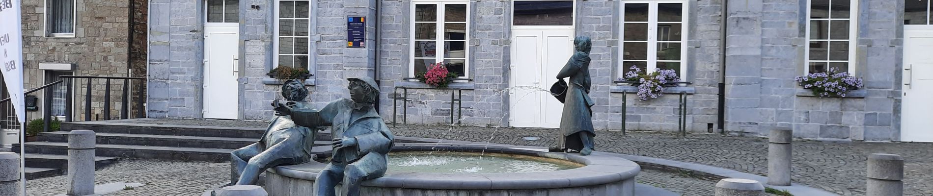
Mazée

mjh
User
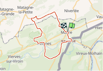

Length
14.9 km

Max alt
281 m

Uphill gradient
388 m
Km-Effort
20 km

Min alt
118 m

Downhill gradient
387 m
Boucle
Yes
Creation date :
2022-09-04 07:57:42.615
Updated on :
2022-09-10 11:39:17.216
4h07
Difficulty : Easy

FREE GPS app for hiking
 SityTrail
IGN / Geographical institutes
SityTrail Plus
The world is yours!
About
Trail Walking of 14.9 km to be discovered at Wallonia, Namur, Viroinval. This trail is proposed by mjh.
Photos


Positioning
Country:
Belgium
Region :
Wallonia
Department/Province :
Namur
Municipality :
Viroinval
Location:
Unknown
Start:(Dec)
Start:(UTM)
621443 ; 5551258 (31U) N.
Comments