


Martel à Rocamadour

Nono55
User
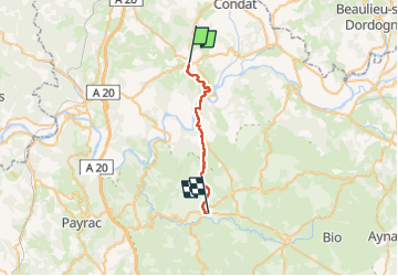

Length
22 km

Max alt
301 m

Uphill gradient
422 m
Km-Effort
28 km

Min alt
103 m

Downhill gradient
397 m
Boucle
No
Creation date :
2022-09-10 06:58:47.0
Updated on :
2022-09-10 18:09:34.47
5h56
Difficulty : Medium

FREE GPS app for hiking
 SityTrail
IGN / Geographical institutes
SityTrail Plus
The world is yours!
About
Trail Walking of 22 km to be discovered at Occitania, Lot, Martel. This trail is proposed by Nono55.
Description
Super chemin botanique sur le haut de Martel
Pour finir trop de route
Mais beau chemin dans l ensemble
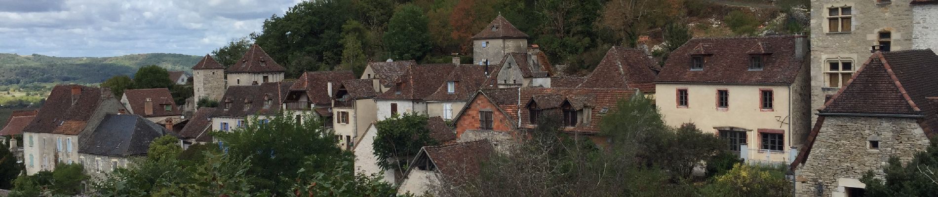
Photos


Positioning
Country:
France
Region :
Occitania
Department/Province :
Lot
Municipality :
Martel
Location:
Unknown
Start:(Dec)
Start:(UTM)
390111 ; 4976892 (31T) N.
Comments