


Île saint Martin par étang

lorenzot54
User
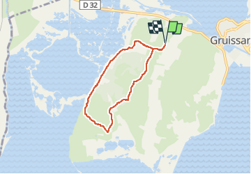

Length
6.1 km

Max alt
64 m

Uphill gradient
101 m
Km-Effort
7.4 km

Min alt
1 m

Downhill gradient
101 m
Boucle
Yes
Creation date :
2022-09-10 08:02:41.0
Updated on :
2022-09-11 15:10:02.727
1h47
Difficulty : Medium

FREE GPS app for hiking
 SityTrail
IGN / Geographical institutes
SityTrail Plus
The world is yours!
About
Trail Walking of 6.1 km to be discovered at Occitania, Aude, Gruissan. This trail is proposed by lorenzot54.
Positioning
Country:
France
Region :
Occitania
Department/Province :
Aude
Municipality :
Gruissan
Location:
Unknown
Start:(Dec)
Start:(UTM)
505708 ; 4772410 (31T) N.
Comments