


Coux Serre Gruas 19km

thonyc
User GUIDE
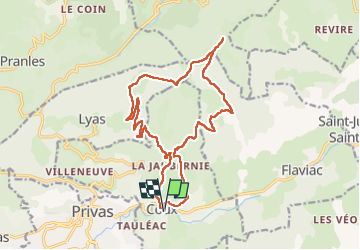

Length
19.4 km

Max alt
808 m

Uphill gradient
723 m
Km-Effort
29 km

Min alt
194 m

Downhill gradient
723 m
Boucle
Yes
Creation date :
2022-09-11 07:08:23.011
Updated on :
2022-09-12 08:24:29.723
5h25
Difficulty : Medium

FREE GPS app for hiking
 SityTrail
IGN / Geographical institutes
SityTrail Plus
The world is yours!
About
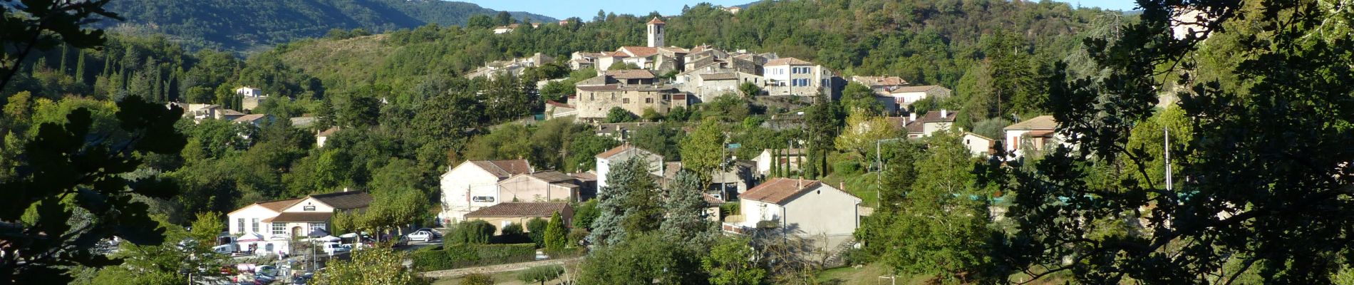
Trail Walking of 19.4 km to be discovered at Auvergne-Rhône-Alpes, Ardèche, Coux. This trail is proposed by thonyc.
Description
Grottes de La Jaubernie - la dalle à pierre à moudre - le Serre de Gruas.
Rando variée et belles vues sur le bassin dePrivas et l'Ouvèze et les montagnes de La Drôme.
Photos


Positioning
Country:
France
Region :
Auvergne-Rhône-Alpes
Department/Province :
Ardèche
Municipality :
Coux
Location:
Unknown
Start:(Dec)
Start:(UTM)
628557 ; 4954835 (31T) N.
Comments