


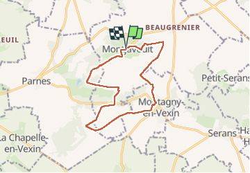
Montjavoult le gibet Valécourt

serge.guerroult
User

Length
12.8 km

Max alt
201 m

Uphill gradient
190 m
Km-Effort
15.4 km

Min alt
88 m

Downhill gradient
191 m
Boucle
Yes
Creation date :
2022-09-13 07:03:46.311
Updated on :
2022-09-20 07:39:12.644
2h19
Difficulty : Difficult

FREE GPS app for hiking
 SityTrail
IGN / Geographical institutes
SityTrail Plus
The world is yours!
About
Trail Walking of 12.8 km to be discovered at Hauts-de-France, Oise, Montjavoult. This trail is proposed by serge.guerroult.
Description
Randonnée en direction de l'ouest/ sud ouest de Montjavoult très peu de bitume et chemins très agréables
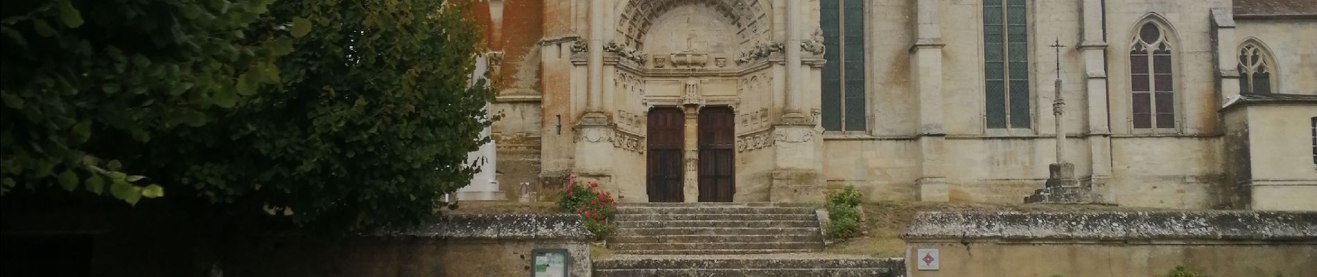
Photos


Positioning
Country:
France
Region :
Hauts-de-France
Department/Province :
Oise
Municipality :
Montjavoult
Location:
Unknown
Start:(Dec)
Start:(UTM)
411419 ; 5451995 (31U) N.
Comments